Services

Download Our Brochure

Combined Earth Observation and Geospatial Analytics

Urban and Forest Plantation:

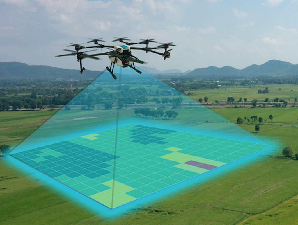
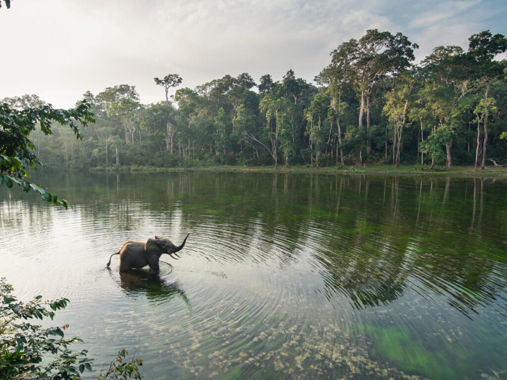
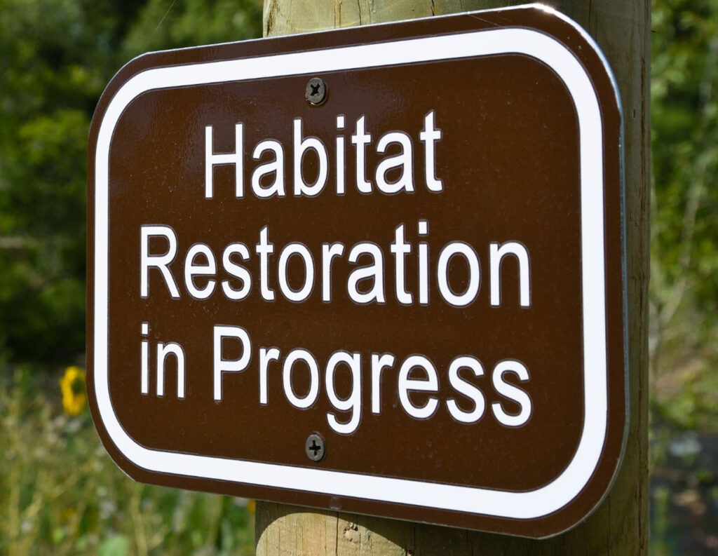
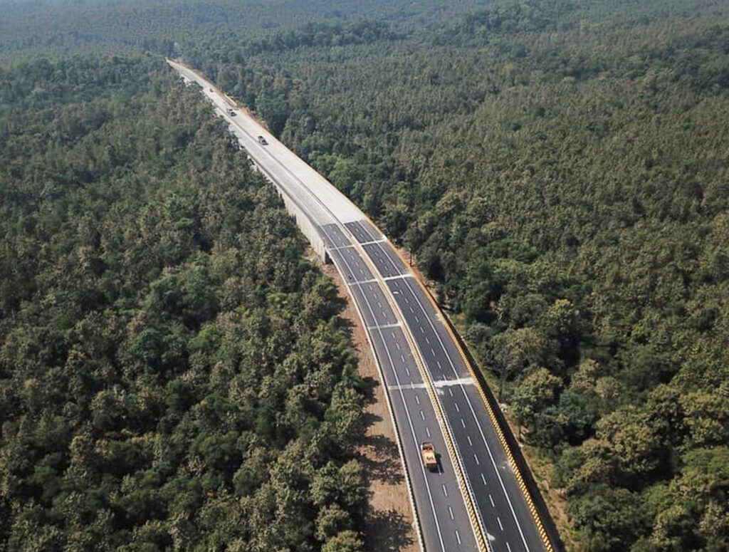
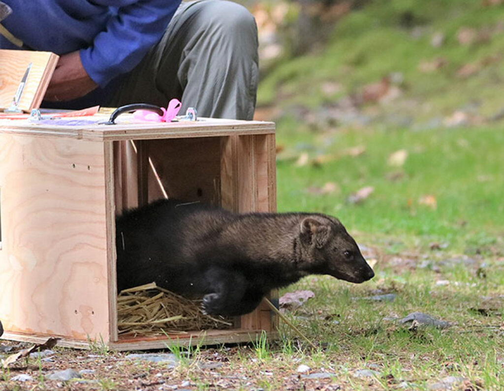
Habitat Lens Private Limited excels in urban and forest plantation projects, leveraging advanced geospatial analytics to plan and monitor green spaces effectively. Our solutions promote urban greening initiatives, improve air quality, and enhance biodiversity in cities. For forest plantations, we utilize cutting-edge technology to ensure sustainable forest management practices, aiding in carbon sequestration, habitat restoration, and ecological balance.

Agricultural Research & Advocacy:

Our Agricultural Research & Advocacy service integrates geospatial data and environmental analytics to optimize agricultural practices. We provide valuable insights into soil health, crop performance, and pest management, enabling farmers to adopt sustainable and profitable farming methods. By advocating for evidence-based agricultural policies, we aim to enhance food security and promote environmental stewardship.

Drone Mapping:

With our state-of-the-art drone mapping services, Habitat Lens Private Limited offers precise and high-resolution aerial imagery for various applications. Our drone technology supports land surveying, resource management, and environmental monitoring, delivering accurate geospatial data for effective decision-making. This service is crucial for urban planning, disaster management, and natural resource conservation.

AI Solutions

Regional Models and Forecast:

At Habitat Lens Private Limited, we develop sophisticated regional models and forecasting tools powered by AI to predict environmental changes and trends. Our models aid in understanding climate patterns, weather forecasting, and disaster risk management, providing critical data to support regional planning and sustainable development initiatives.

AI Models for Image and Pattern Recognition:

Our AI-driven image and pattern recognition models enhance the analysis of geospatial and environmental data. These models are adept at identifying land use changes, detecting environmental hazards, and monitoring wildlife populations. By automating data analysis, we increase accuracy and efficiency, facilitating informed conservation and management strategies.

AI-driven Land Use Predictions:

Habitat Lens Private Limited employs AI to predict land use changes and their impacts on the environment. Our predictive models assist in urban planning, agricultural development, and conservation efforts by forecasting future land use scenarios. This proactive approach helps mitigate negative environmental impacts and supports sustainable land management practices.

Perception Analysis:

Our Perception Analysis service uses AI to interpret and analyze public and stakeholder opinions on environmental issues. By assessing sentiment and perception through social media, surveys, and other data sources, we provide insights that inform policy-making, enhance community engagement, and foster collaborative conservation efforts.

Conservation Action & Research

Protected Area Management Plan:

Habitat Lens Private Limited specializes in developing comprehensive management plans for protected areas. Our plans integrate ecological, social, and economic considerations to ensure the conservation of biodiversity and ecosystem services. We work closely with stakeholders to implement strategies that balance conservation goals with sustainable use of natural resources.

Species Recovery Plan:

Our Species Recovery Plan service is dedicated to the revival and protection of endangered species. By conducting thorough research and implementing targeted conservation actions, we aim to restore viable populations of threatened species. Our approach includes habitat restoration, threat mitigation, and community involvement to achieve long-term species conservation.

Action Plan for Human-Wildlife Conflicts:

To address human-wildlife conflicts, Habitat Lens Private Limited develops action plans that promote coexistence and reduce conflict incidents. Our strategies include community education, conflict mitigation measures, and sustainable land-use practices. We strive to protect both human livelihoods and wildlife populations through effective conflict resolution techniques.

Habitat Restoration:

Our Habitat Restoration services focus on rehabilitating degraded ecosystems to their natural state. We employ ecological restoration techniques to restore native vegetation, improve soil health, and enhance habitat connectivity. This service supports biodiversity, ecosystem services, and climate resilience, contributing to overall environmental health.

Corridor Identification:

Identifying wildlife corridors is crucial for maintaining ecological connectivity and biodiversity. Habitat Lens Private Limited utilizes geospatial technology and field surveys to map critical wildlife corridors. Our findings guide conservation planning and land-use decisions, ensuring the safe movement of wildlife and the preservation of genetic diversity.

Species Translocation:

We offer Species Translocation services to relocate species from threatened habitats to safer locations. This conservation strategy helps prevent species extinction and supports population recovery. Our team conducts thorough feasibility studies and follows best practices to ensure the success of translocation efforts and the well-being of the species involved.

Training & Exercise

Training on GIS, AI, and Machine Learning at Advanced Level for Students & Professionals:

Habitat Lens Private Limited’s Training and Exercise Division provides comprehensive training programs in GIS, AI, and machine learning for students and professionals. Our advanced courses combine theoretical knowledge with practical applications, equipping participants with the skills needed to analyze spatial data, implement AI algorithms, and develop innovative software solutions. These programs foster career advancement and drive innovation in environmental analytics and geospatial technologies.